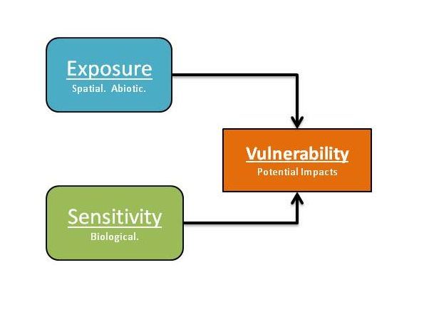
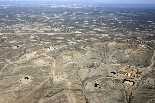
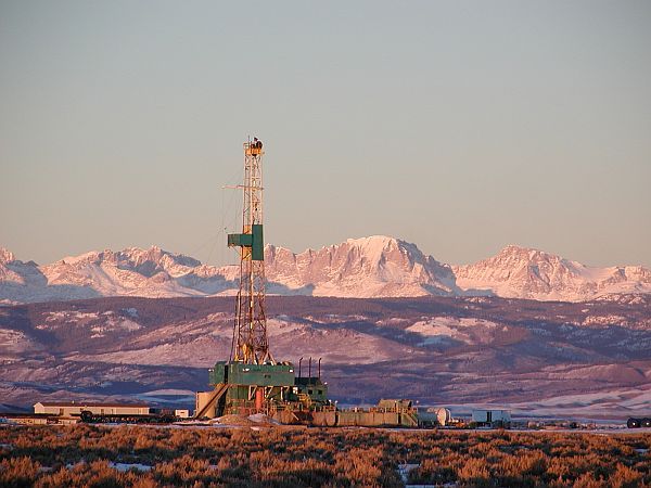
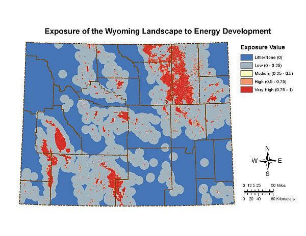
With over 200 Species of Greatest Conservation Need (SGCN) identified by Wyoming’s State Wildlife Action Plan, and energy infrastructure likely to double in the next twenty years, there are insufficient time and resources to conduct species-specific, detailed studies. Discussions with state wildlife managers a few years ago identified the need to assess which species are apt to be threatened most by such development so research, conservation, and management can be targeted toward those species before drastic action, such as Endangered Species Act listing, becomes necessary.
The study area spans from Cody, Wyoming to the northeast corner of Yellowstone National Park (YNP) and includes the seasonal ranges of the partially migratory Clark’s Fork elk herd and four resident wolf packs. Prior studies indicate that the distribution and abundance of elk can influence not only wolf movements but also cattle depredation patterns. Three of our focal packs –Sunlight, Beartooth and Hoodoo – rely on the fully migratory portion of the Clark’s Fork elk herd in winter. When these elk undergo a 20-30 mile migration into the upper Lamar River in YNP during the summer, the wolf packs appear to change their habitat use patterns and prey choices. In contrast, a fourth pack – the Absaroka Pack – relies on the nonmigratory portion of the elk herd that remain year-round in the foothills of the Absaroka Front. These elk often mingle in pastures with domestic cattle during the summer. By comparing the movement and predation patterns of these two different types of wolf packs, we hope to better understand the influence of migratory prey on the ecology and conservation of wolves.
In the field, we have used GPS tracking of wolves and elk to assess the influence of elk distribution and migratory status on 1) wolf habitat use in summer and winter, and 2) the incidence and patterns of predation on livestock vs. wild ungulates. To characterize pastures with re-occurring livestock depredations each year, we located cattle carcasses using wolf GPS location clusters and reports from cooperating ranchers and agencies.
In areas with recolonizing wolf populations, predicting wolf movements and conflicts can be challenging. Large-scale shifts in the distribution of wolves’ prey, including changing migratory patterns, further complicate efforts to sustain wolves and minimize conflicts. Wildlife management agencies often gather long-term information on the distribution and abundance of wild ungulates, and our study is providing some insights into how the distribution of such prey populations can influence the establishment patterns and seasonal movements of wolves. A primary focus of this work is to develop the means to characterize the risk of wolf depredation for cattle pastures, dependent on whether they occur where elk are migratory versus resident.
Reports & Publications
Keinath, D.A., M. J. Kauffman and G.P. Beauvais. 2008. Assessment of Wildlife Vulnerability to Energy Development (AWVED): 2008 Progress Report. September 15, 2008.
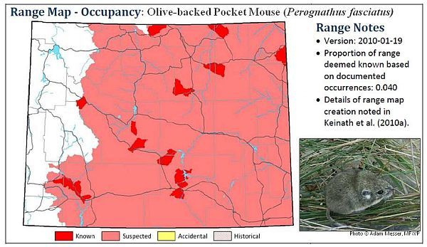
Keinath, D.A., M. Andersen, and G.P. Beauvais. 2010. Range maps for Wyoming’s Species of Greatest Conservation Need. January 19, 2010.
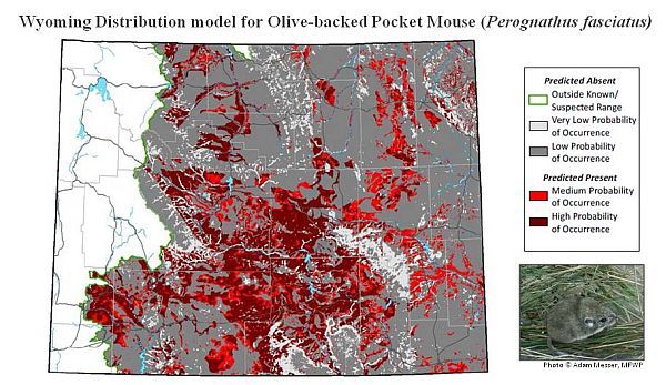
Keinath, D.A., M. Andersen, and G.P. Beauvais. 2010. Range and modeled distribution of Wyoming’s Species of Greatest Conservation Need. August 20, 2010.
Contact
Doug Keinath
Wyoming Natural Diversity Database
Berry Biodiversity Conservation Center University of Wyoming
1000 E. University Ave., Dept. 4304
Laramie, Wyoming 82071
307-766-3013
dkeinath@uwyo.edu
Pat Anderson (Funder/Collaborator)
United States Geological Survey
Fort Collins Science Center
2150 Center Ave., Building C
Fort Collins, Colorado, 80526
970-226-9100
Website
Glenn Pauley and Bob Lanka (Funder/Collaborator)
Wyoming Game and Fish Department
5400 Bishop Blvd
Cheyenne, Wyoming 82006
307-777-4600
Website
Holly Copeland (Collaborator)
The Nature Conservancy in Wyoming
258 Main Street, Suite 200
Lander, WY 82520
307-332-2971
Website
Project Lead
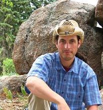
Doug Keinath: Doug grew up in central Michigan. He received bachelor’s degrees in Engineering and Natural Resources from the University of Michigan in 1993. He then spent several years working for environmental consultants in Washington DC, where he worked closely with organizations such as USAID and the World Bank on global climate change issues. MORE »
Timeline
AWVED was initiated in 2008. Range mapping was completed in 2009 and distribution modeling was completed in 2010 (see associated reports). Exposure analysis is ongoing, with expected completion in 2011. Biological sensitivity analysis will begin in 2011, with expected completion in late 2012. All reports and publications should be complete by the close of 2013.
Funding & Partners
- Wyoming Game & Fish Department
- United States Geological Survey – Wyoming Landscape Conservation Initiative

